Oceanography and remote sensing


Oceanography and remote sensing
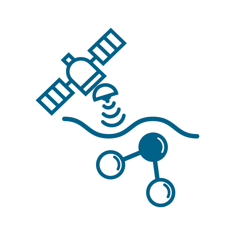
This research line is dedicated to studying oceanography through remote sensing, with a particular focus on Coastal Altimetry. A key short, medium, and long-term objective is the in-situ validation of data from remote sensors (Radar Altimetry, Synthetic Aperture Radar, multispectral sensors) in near-shore areas. This is fundamental for the successful development of altimetric space missions. Another prominent aspect is the scientific exploitation of these products, along with collaboration with other national and international scientists.
The work focuses on understanding ocean dynamics, especially in the Gulf of Cadiz and the Strait of Gibraltar, using satellite data and numerical ocean circulation models coupled with atmospheric models. The primary scientific interest lies in unraveling the mechanisms governing circulation on the continental shelf and how these affect the transport of matter (contaminants) throughout the Gulf of Cadiz.
The specific aspects covered by this research line include:
- Validation of remote sensing data (Radar Altimetry and Synthetic Aperture Radar) with in situ measurements.
- Oceanographic studies by remote sensing and their relationship with the environment: seasonal sea level cycle, mean sea level trend.
- Study of circulation on the continental shelf of the Gulf of Cadiz.
- Oceanography of the Strait of Gibraltar.
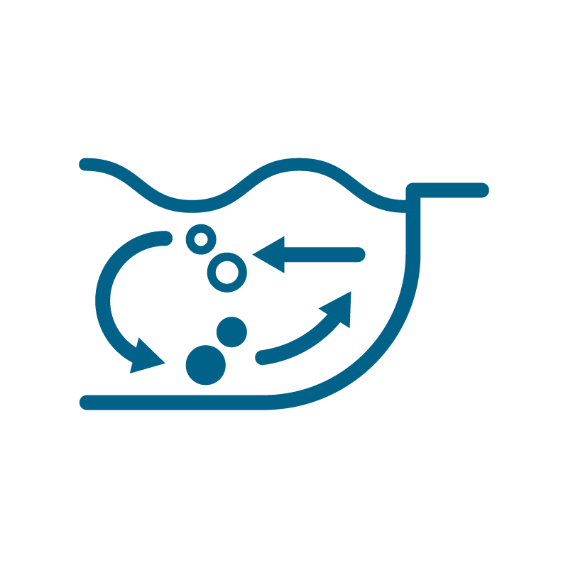
- Implementation of coupled numerical models (atmosphere-hydrodynamic-Lagrangian transport).
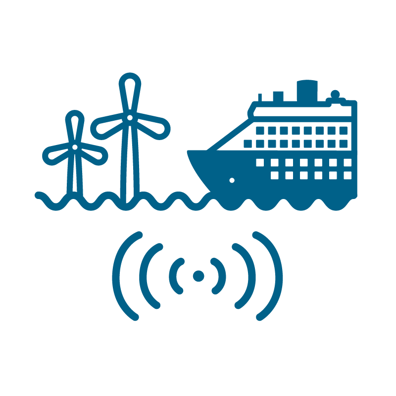
- Vessel detection (using AIS-Automatic Identification System data and SAR-Synthetic Aperture Radar images).