Drone service: unmanned aereal vehicles section
The drone service (unmanned aerial vehicles) emerged in 2015 and its purpose is to carry out all those jobs that require the use of unmanned vehicles to obtain data captured remotely. The service has various equipment adapted to the needs of the different jobs carried out. It has the following platforms/aircraft:
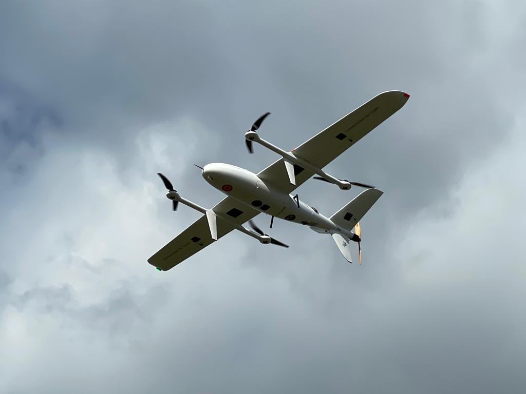
- 1 fixed wing ATyges FV1 VTOL
- 2 fixed wing ATyges FV1
- 1 quadcopter DJI Matrice 210 V2
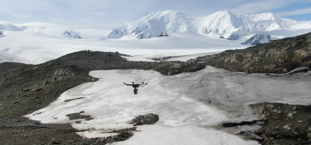
- 1 hexacopter DJI Matrice 600 Pro
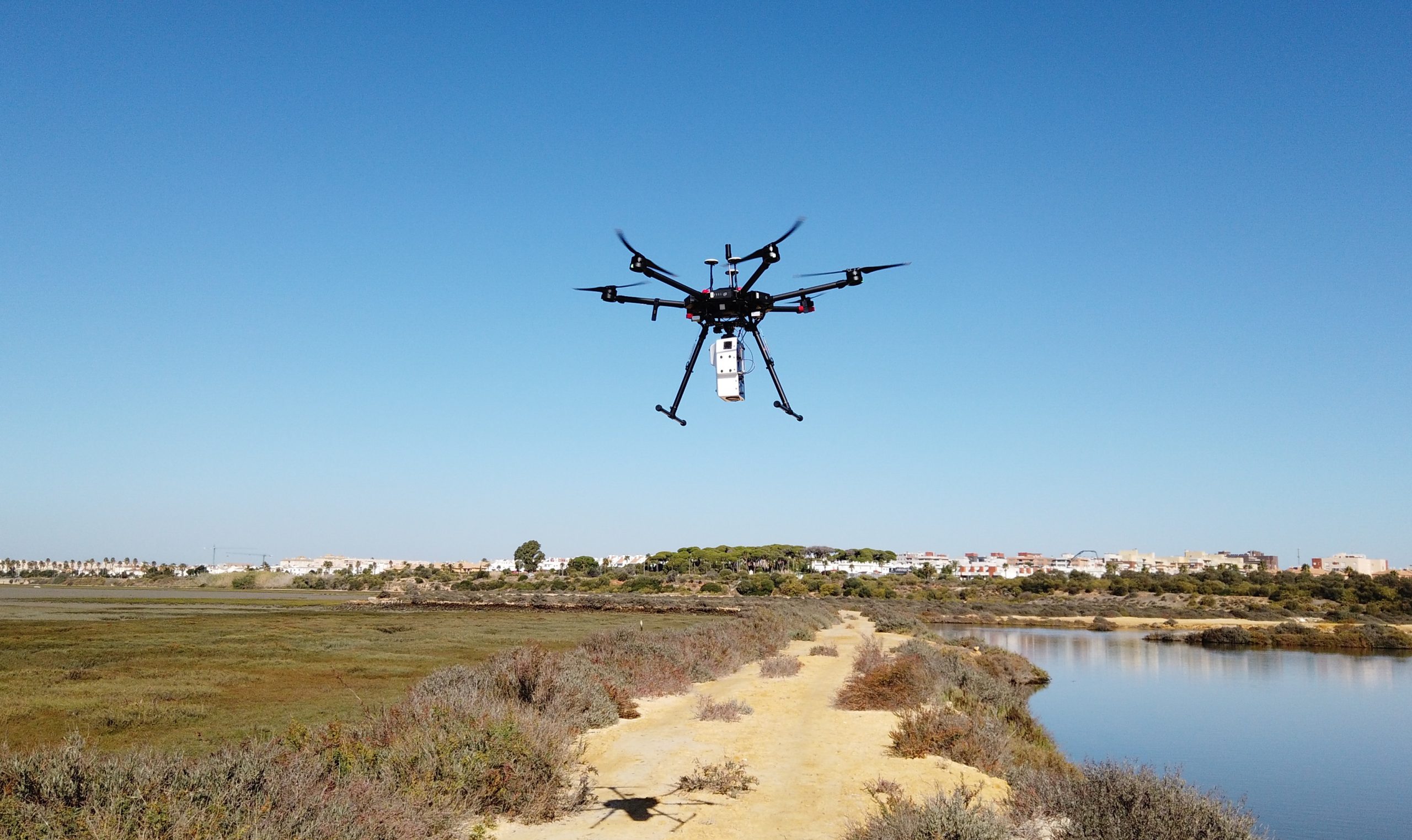
- 3 quadcopters Matrice 300 RTK
- 1 quadcopter DJI MAVIC2 PRO
- 1 quadcopter DJI MAVIC2 ZOOM
- 1 octocopter ATYGES FV-8 (with topodron system)
- 2 quadcopters DJI Phantom 3 Professional
Different types of sensors:
- Hiperespectral (VNIR-SWIR)
- Multiespectrals
- Gas and particle analyzerRGB
- Echosounder
- CTD
- Radiometric termal
- Water sampler
- LiDAR
In addition, the service has the following software:
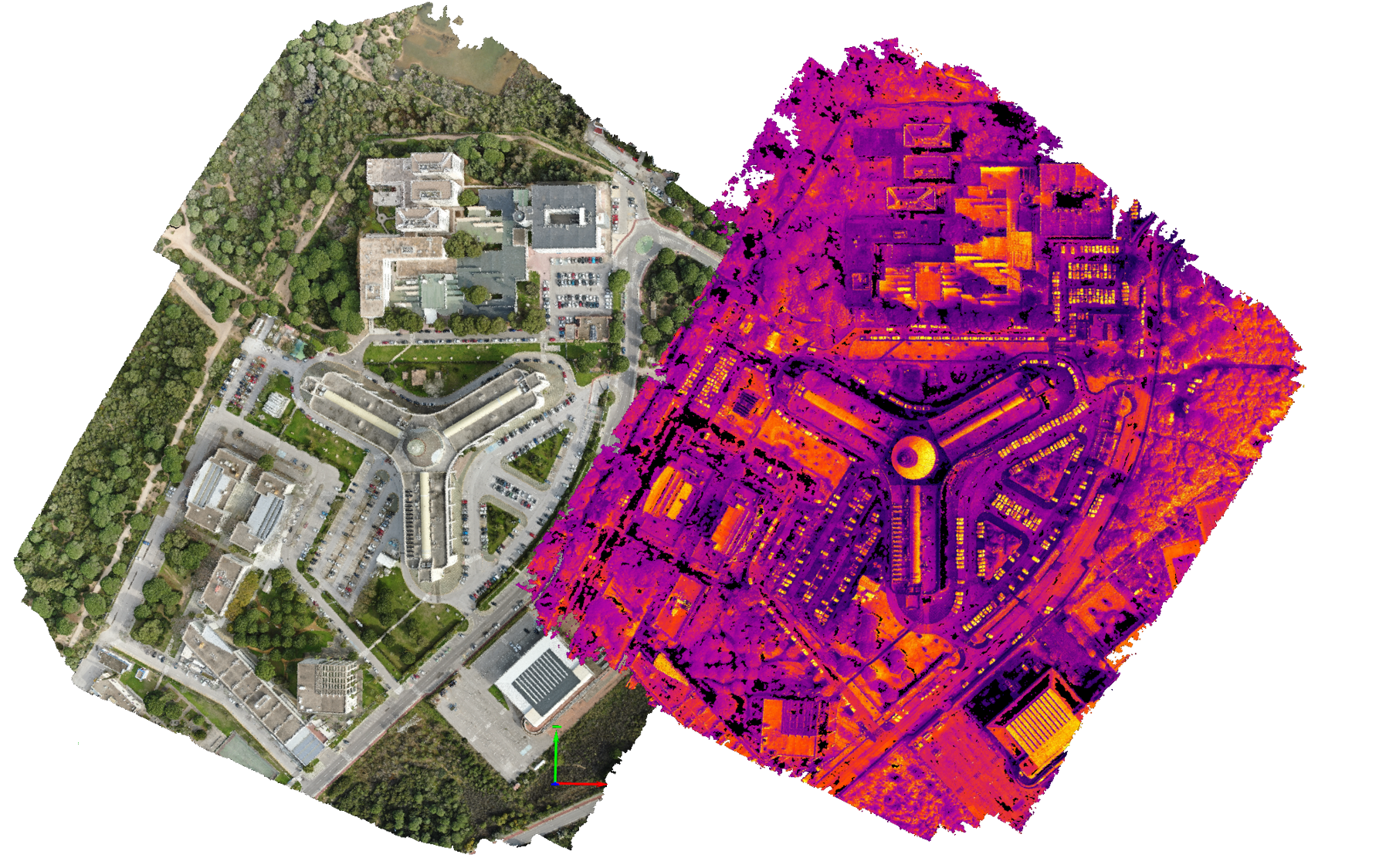
- Pix4D (photogrammetry software).. It allows you to create point clouds, rectified orthophotos and digital terrain and surface models. It also has access to Photoscan and UAS Master as alternative software for photogrammetry.
- Planning, importing and data processing software, supported by UgSC PRO.
- Software for processing geospatial data: GlobalMapper.
- Other flight scheduling, image georeferencing and multispectral image processing software.
Available equipment:

Among the main tasks carried out in the service are the following:
- Monitoring of environmental variables (water bodies, air quality, precision agriculture, etc.).
- Study of natural and cultural heritage (archaeological sites, monuments, characterization of ecosystems, etc.).
- Precision photogrammetry in RGB, thermal, multispectral and hyperspectral to obtain orthophotographs, MDS, MDT, contour lines, hypercubes, index maps and high-resolution thematic cartography.
- Development of point clouds and high-resolution 3D models from LiDAR sensors.
- Technical inspection of facilities.
- Aerial filming for dissemination of institutional events and activities.
Service location: CASEM laboratory no. 515 (Andalusian Centre for Marine Studies – CASEM, ground floor, pala C. Puerto Real University Campus, University of Cádiz).
To request the service, click on the following link: drone service: unmanned aereal vehicles section request
External users must register at the following link: CAU INMAR registration
For more information, please contact the research staff: servicio.drones@uca.es
Website: https://dron.uca.es/vehiculos-aereos/
This equipment has been financed by:
![]()